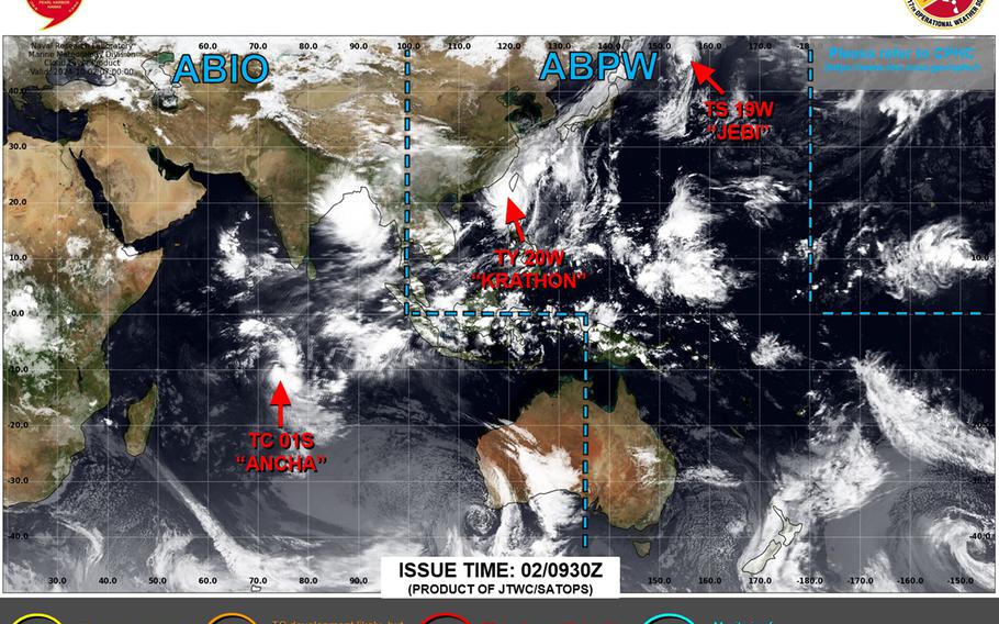
Krathon retains Category 3-equivalent status, remains quasi-stationary southwest of Taiwan; forecast to weaken as it makes landfall and moves over Taiwan, possibly dissipating Saturday while still over the island. (Joint Typhoon Warning Center)
11:30 p.m. Wednesday, Oct. 2, Japan time: Krathon continues to hold onto Category 3-equivalent typhoon status and remains lurking off southwest Taiwan, according to Joint Typhoon Warning Center’s latest forecast track.
Krathon remains forecast to come ashore over southwest Taiwan, something that’s only happened four times in recorded history. It would be the first time it’s happened since 1988. A typhoon warning remains in place for most of Taiwan, while Tropical Cyclone Wind Signal 1 remains raised for the northern Philippines’ Batanes and Babuyan island groups and extreme northern Ilocos Norte.
Krathon is projected to make a near-direct hit on Kaohsiung, about 10 miles northwest, at mid-morning Thursday as a Category 1-equivalent system and remain over Taiwan for quite awhile. At 8 p.m. Taiwan time, Krathon was about 250 miles south-southwest of Taipei and was quasi-stationary, holding steady at 115-mph sustained winds and 145-mph gusts.
