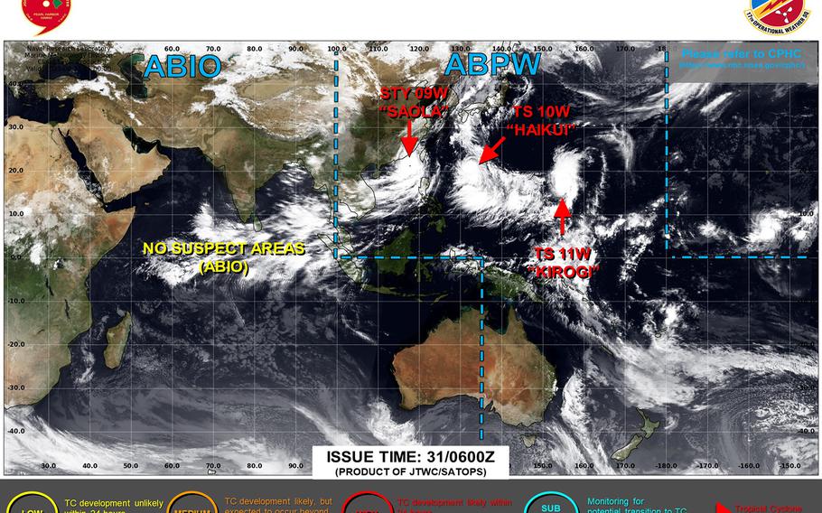
U.S. bases on Okinawa remained in TCCOR 2 through Thursday afternoon. Tropical Storm Haikui remains forecast to pass more than 220 miles southwest of Okinawa as a Category 3-equivalent typhoon. (Joint Typhoon Warning Center)
6:15 p.m. Thursday, Aug. 31, Japan time: With every passing update, Tropical Storm Haikui’s Joint Typhoon Warning Center’s forecast track continues to edge a bit further south of Okinawa.
That’s not to say the island is entirely out of the woods, at least not yet.
Haikui is on the verge of strengthening into a Category 1-equivalent typhoon. U.S. bases on Okinawa remained in Tropical Cyclone Condition of Readiness 2 through Thursday afternoon. Even if Okinawa does not experience destructive winds, bases can expect a blustery, showery Friday, perhaps Saturday as well.
At 3 p.m., Haikui was about 450 miles southeast of Kadena Air Base, headed almost due west at 9 mph, packing 69-mph sustained winds and 86-mph gusts.
If Haikui remains on current course, JTWC projects it to reach typhoon strength late Thursday or early Friday, peak as a Category 3-equivalent typhoon and pass 228 miles south-southwest of Kadena at midnight Friday, packing 115-mph sustained winds and 144-mph gusts at storm’s center.
The latest wind-forecast timeline for Haikui from Kadena’s 18th Wing Weather Flight continues to show peak winds of 35-mph sustained and 52-mph gusts for south Okinawa and 29-mph sustained winds and 46-mph gusts for Kadena Friday afternoon or evening.
Haikui is then forecast to gradually weaken as it approaches forecast landfall early Sunday morning over China’s east coast as a Category 1-equivalent typhoon.