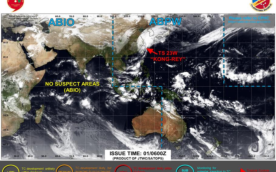
Kong-rey transitions into a sub-tropical low; heavy rain remains forecast for Tokyo area Saturday evening as it rapidly moves east. ()
2:25 p.m. Saturday, Nov. 2, Japan time: Kong-rey has transitioned into a sub-tropical low. The worst of the rain is over for Sasebo Naval Base, Marine Corps Air Station Iwakuni, but the Tokyo area can expect rain, heavy at times, Saturday afternoon and evening, along with gale-force winds.
At 3 a..m., Kong-rey was about 220 miles west-southwest of Sasebo and has put the pedal to the metal, hurtling northeast at 35 mph and holding steady at 50-mph sustained winds and 65-mph gusts at center. U.S. bases throughout Japan remain in seasonal Tropical Cyclone Condition of Readiness status.
Rain remains in the picture for coastal areas of the Kanto Plain through Saturday. Yokosuka Naval Base can expect showers and isolated thunderstorms into Sunday morning, with peak northeasterly gusts of 35 mph early Sunday.