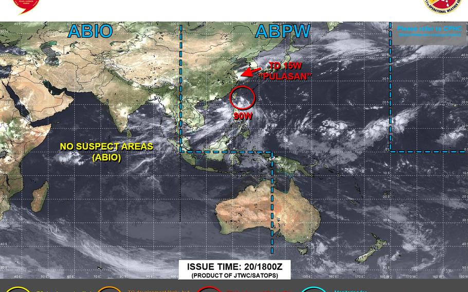
Pulasan upgraded to tropical storm, darting into Sea of Japan, forecast to pass through mountains of central Honshu. (Joint Typhoon Warning Center)
1 a.m. Sunday, Sept. 22, Japan time: Pulasan has been upgraded to tropical storm-strength, most likely for the last time. Joint Typhoon Warning Center’s latest forecast track has it darting into the Sea of Japan (East Sea), then through the mountains of central Honshu in Japan, transitioning into a sub-tropical low.
***
Japan Meteorological Agency typhoon tracks = https://www.jma.go.jp/bosai/map.html#5/22.658/125.286/&elem=root&typhoon=all&lang=en&contents=typhoon
Joint Typhoon Warning Center forecast track for Pulasan = https://www.metoc.navy.mil/jtwc/products/wp1524.gif
Model track guidance and forecast ensembles for Pulasan = https://www.tropicaltidbits.com/storminfo/#15W
Typhoon season primer for those new to the Pacific = https://www.stripes.com/theaters/asia_pacific/storm_tracker/2023-05-07/typhoon-season-primer-for-those-new-to-the-pacific-10040838.html
