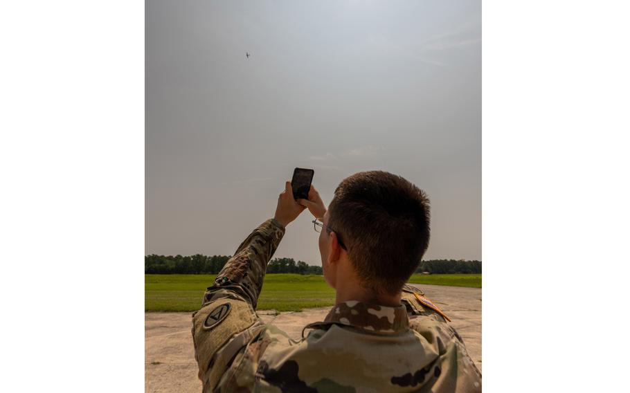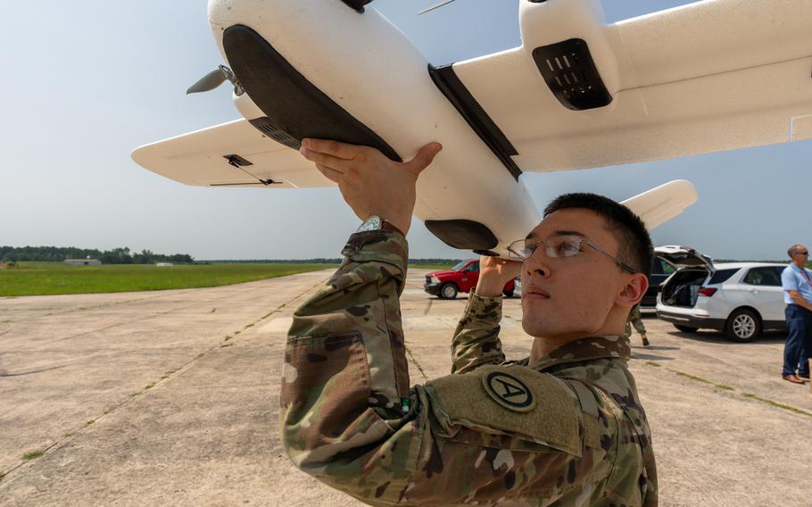
Army Sgt. Mickey Reeve of Task Force 39 scans a drone with his cellphone at McEntire Joint National Guard Base, S.C., on July 17, 2023. The task force is testing an app that is intended to help people report drone sightings to the U.S. military. ( Leo Jenkins/U.S. Army)
One of the Army’s newest tech testing groups is working on an app that it says will make American service members in the Middle East less susceptible to drone attacks.
Task Force 39 launched an experiment Tuesday on the CARPE Dronvm phone app, which uses pictures to identify drones and determine their flight path.
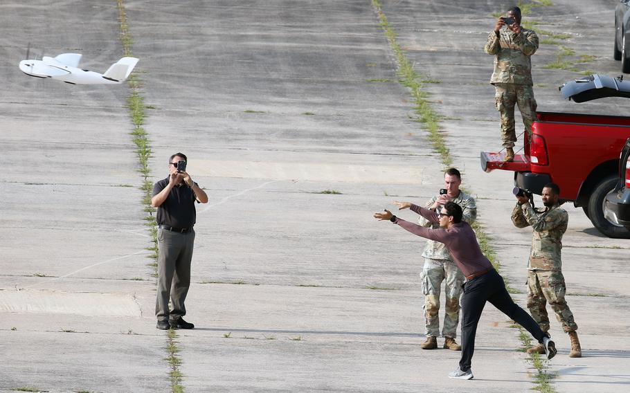
Task force members flew a drone along a route from McEntire Joint National Guard Base in South Carolina to Poinsett Range, about 30 miles away. About 25 soldiers, airmen and police who were standing beneath the flight path took out their phones and tried to photograph it.
“The more eyes that we can have on a situation, the better off everybody’s going to be,” said Army Sgt. Mickey Reeve, the operations noncommissioned officer in charge for the task force.
The Army envisions the sky-scanning app being used by soldiers and civilians near American bases in the Middle East to report drone sightings.
Task Force 39 was formed in November and operates from Shaw Air Force Base, S.C. The Army group follows similar initiatives by the Navy and the Air Force to test military tech for use in the Middle East.
CARPE Dronvm is funded by the Pentagon and was developed by Mitre, a company based in Massachusetts and Virginia. Last week’s app test was the largest so far, the Army said in a recent report.
The U.S. military has said in recent years that one of its priorities is countering the small unmanned aerial systems used by Iran and its allies in the Middle East.
“The threat is real, and it is credible,” said Reeve, who recently returned from a deployment to Saudi Arabia. “These drones are very small; they’re very hard to detect sometimes.”
In a 2019 drone attack on oil facilities in Saudi Arabia, civilians saw the drones but didn’t know how to warn authorities, an Army video about the app in June said.
The recent test also had a UH-60 Black Hawk flying alongside the drone, and the app’s artificial intelligence determined the helicopter pictured wasn’t a drone, said Maj. Anton Swanson, the deputy commander of the group.
Reeve, who was at the command center, said he could see his maps update in real time as drone sighting reports arrived. These reports allowed the researchers to map where the drone is headed, he said.

Army Sgt. Mickey Reeve demonstrates a drone launch ahead of testing of the Carpe Dronvm app at McEntire Joint National Guard Base, S.C., on July 17, 2023. ( Leo Jenkins/U.S. Army)
The task force also tested the app by adding three smaller quadcopters flying in a swarm pattern, Reeve said, referring to a tactic often used by drone operators in Iranian-backed militias in the Middle East.
The app passed this additional test with flying colors, Reeve and Swanson said. The next step is getting the app to scan a photo and then identify what kind of drone is in the air, Swanson added.
Smaller suicide drones like those provided by Iran to Russia in its war in Ukraine as well as to its proxy groups in Yemen, Iraq and Syria have made an outsized impact in those conflicts, experts have said.
Iran’s drones are among the most advanced in the world after decades of development and experience in proxy wars in the Middle East, experts and U.S. military officials have said.
The app would allow a soldier or a civilian in the region to notify troops that a threat is incoming, Reeve said.
“There’s no worse feeling than seeing something and not being able to do something about it,” he said. “This really enables everybody to be a part of the solution and to increase situational awareness.”

Researchers test the Carpe Dronvm smartphone app at McEntire Joint National Guard Base, S.C., on July 18, 2023. The Army envisions the app as a way to help protect personnel in the Middle East, where drone attacks are a significant threat. (Amber Cobena/U.S. Army)